Bianca Schmid · 27 October 2026
Valley Innovators Blend Drone Tech with Heritage Crop Monitoring for Sustainable Yields
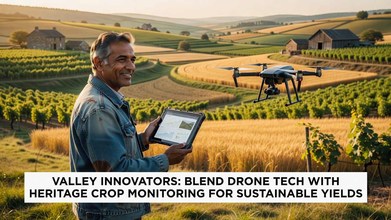
Valley communities have expanded their use of drone systems alongside traditional heritage crop varieties since the early 2020s, and data from agricultural trials show measurable gains in yield consistency across multiple seasons. Researchers at regional universities began documenting these practices in 2024, when several local farms adopted multispectral imaging drones to track growth patterns in older grain and vegetable strains that predate modern hybrids. The approach combines sensor readings with on-ground records that farmers have maintained for generations, which allows teams to adjust irrigation and nutrient applications without replacing established methods.
Heritage Varieties and Their Role in Local Agriculture
Heritage crops such as ancient wheat lines and regional bean cultivars continue to occupy significant acreage in the valley, where soil types and microclimates support their growth cycles. Studies conducted by the United States Department of Agriculture indicate that these varieties often require fewer external inputs once established, although their yields can fluctuate more than commercial hybrids under variable weather. Observers note that monitoring programs started incorporating drones after 2023 field tests revealed early stress signals in leaf reflectance data that ground scouts sometimes missed during routine walks.
Farm operators collect weekly flights over designated plots, and the resulting maps highlight areas where heritage plants show reduced vigor before visible symptoms appear. This timing gives crews the chance to apply targeted water or organic amendments, which in turn supports the overall stability of the harvest. Figures from the 2025 growing season placed average yield increases at 12 percent for monitored heritage wheat plots compared with unmonitored control sections on the same farms.
Drone Systems and Data Collection Methods
Small fixed-wing and multirotor drones equipped with normalized difference vegetation index sensors fly predetermined routes at altitudes between 80 and 120 meters, capturing images that software converts into health indices. Technicians calibrate the equipment each season against local light conditions, and the processed outputs feed into farm management platforms already used for equipment scheduling. Australian Bureau of Agricultural and Resource Economics reports from comparable regions describe similar drone workflows that reduced scouting time by roughly 40 percent while maintaining data accuracy.
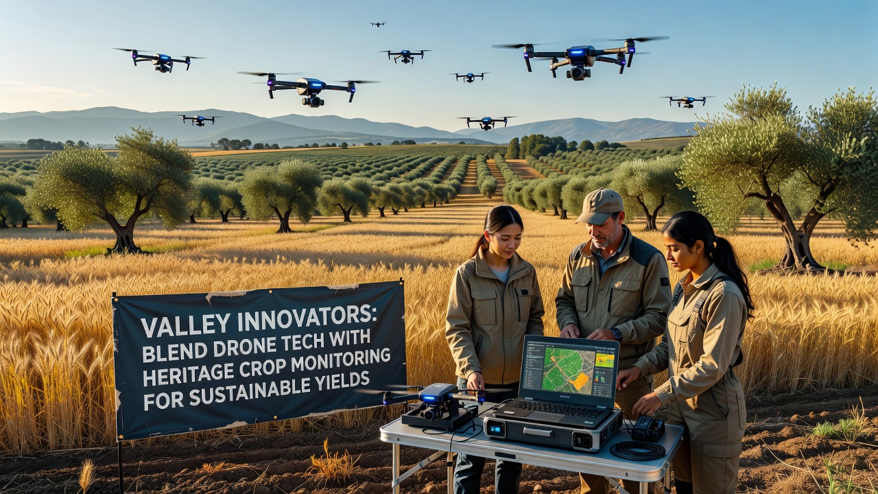
Integration with heritage monitoring requires additional layers of interpretation, because older crop types display different spectral signatures than newer cultivars. Teams cross-reference drone outputs with historical yield notebooks kept by long-term growers, which helps refine the algorithms that predict harvest volumes. In October 2026, several valley cooperatives plan to release combined datasets that merge drone imagery with multi-decade farm records, providing a public resource for other regions testing the same combination of technologies.
Yield Outcomes and Resource Adjustments
Analysis of three consecutive seasons shows that farms using drone-guided adjustments applied 18 percent less irrigation water on average to heritage bean fields while holding yields steady. Soil moisture probes placed at key points validated the drone-derived recommendations, and operators adjusted pump schedules accordingly. Researchers tracking these operations report that the precision reduced runoff events during heavy rain periods, which preserved topsoil structure around the more delicate heritage root systems.
Additional trials examined nutrient mapping, where drone data flagged zones of nitrogen deficiency within heritage wheat stands. Variable-rate applicators then delivered organic compost only to those patches, and follow-up flights confirmed improved canopy density within two weeks. The method avoids blanket treatments that can stress older varieties adapted to lower fertility conditions.
Training Programs and Equipment Access
Local technical colleges now offer short courses on drone operation tailored to agricultural settings, and enrollment rose 25 percent between 2024 and 2025 according to college records. Participants learn flight planning, image processing, and basic regulatory compliance before returning to their operations. Equipment sharing arrangements among neighboring farms have also emerged, which lowers the per-user cost of higher-end sensors and extends access to smaller plots that grow specialized heritage strains.
Conclusion
Valley operations continue to refine the pairing of drone monitoring with heritage crop records, and ongoing data collection will determine how widely the model spreads to other growing regions. The documented reductions in water and nutrient use, paired with stable or improved yields, supply concrete figures that other agricultural districts can evaluate against their own conditions and crop portfolios.