Tina Flores · 15 September 2026
Valley Wildlife Monitors Deploy Drones to Track Seasonal Migration Patterns in Remote Habitats
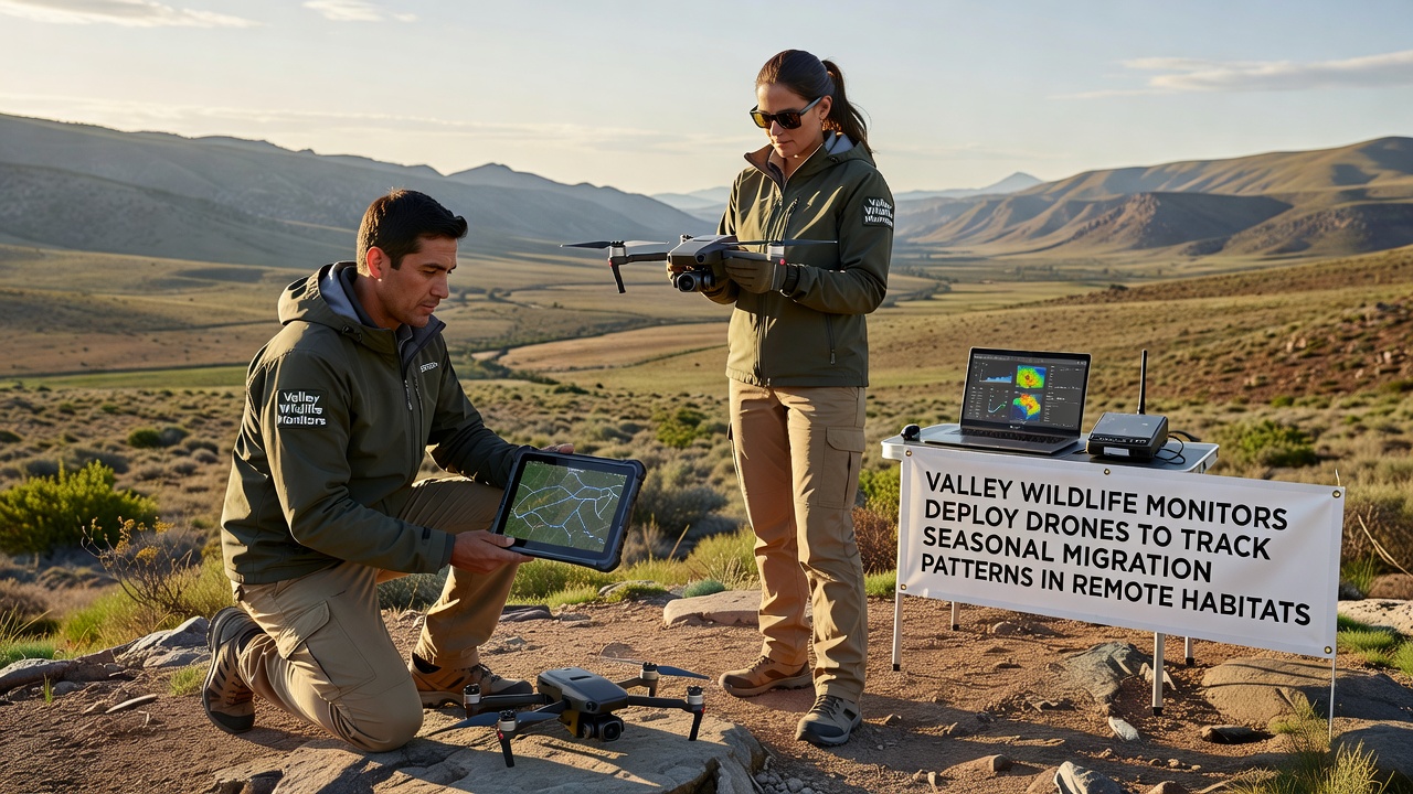
Wildlife monitors in the valley region have turned to drone technology to follow seasonal migration routes through areas that remain difficult to reach by traditional ground teams, and this approach gathers data on bird and mammal movements across rugged terrain where roads and trails simply do not exist. The effort combines aerial surveys with ground sensors so researchers can record timing, routes, and group sizes without disturbing the animals during critical travel periods.
Why Drones Fit Remote Migration Work
Remote habitats often feature steep canyons, dense forests, and wetlands that limit vehicle access, yet these same zones serve as key corridors for species moving between summer and winter ranges. Drones equipped with thermal cameras and high-resolution optical sensors fly pre-programmed paths that cover hundreds of acres in a single sortie, and the resulting imagery reveals herd locations and flight paths that field crews on foot would miss. Data collected this way shows precise coordinates that integrate directly into mapping software used by multiple agencies.
Researchers note that battery-powered quadcopters produce less noise than helicopters, which reduces the chance of altering animal behavior during observation windows. In addition, the drones operate at altitudes that keep them above most tree canopies while still capturing detailed footage of animals on the ground or in flight. This combination of range and detail has expanded coverage to zones previously sampled only once per season.
Deployment Timeline and Technology Details
Teams began test flights in early 2025 and refined flight plans through spring and summer before scaling operations for the fall migration. By September 2026 the program will add night-capable infrared units to track species that move after dark, including certain bat populations and nocturnal mammals crossing valley floors. Each drone carries GPS logging plus onboard storage that uploads automatically upon return to the launch site.
Ground crews place small solar-powered receivers at known water sources and ridgelines, and these units cross-reference drone sightings with radio-collar signals from previously tagged individuals. The merged dataset allows analysts to compare group travel speeds and stopover durations across multiple years. Software flags anomalies such as route shifts that may relate to weather events or habitat changes further along the corridor.
Data Sharing Across Regions
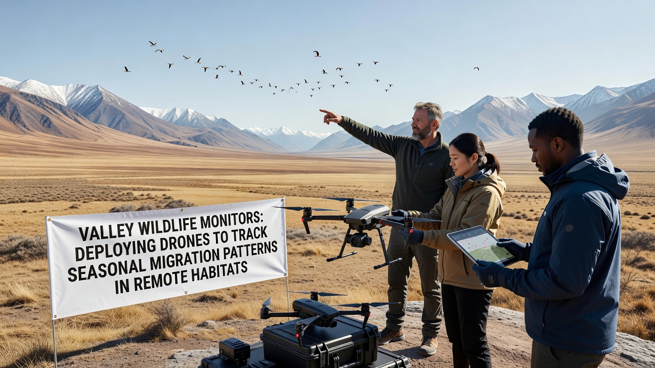
Information gathered in the valley feeds into larger databases maintained by the United States Geological Survey and partner organizations, and similar drone programs operate in parts of Canada and Australia to allow cross-continental comparisons. According to reports from the United States Geological Survey, coordinated drone surveys have increased the number of documented stopover sites by roughly 30 percent in comparable mountain valleys. Analysts in Australia have reported parallel gains when tracking macropod movements through arid zones, which suggests the method scales across different ecosystems.
Local monitors upload anonymized flight logs and species counts to a shared portal every two weeks, and university teams use the raw imagery to train machine-learning models that identify species from wing shape or coat patterns. These models reduce the time required to process thousands of frames, and the improved speed lets field staff adjust flight schedules within the same migration window rather than waiting until the following year.
Challenges and Adjustments
Weather remains the main constraint, since high winds and sudden rain can ground drones even when animals continue moving. Teams therefore maintain backup schedules and rely on satellite weather feeds to select flight days with stable conditions. Battery life also limits single-flight range, so monitors stage multiple launch points along the corridor and rotate crews to keep coverage continuous during peak weeks.
Regulatory approvals require advance notice to aviation authorities, and operators must maintain visual line of sight unless they obtain waivers for beyond-visual-line-of-sight flights. These rules shape daily planning yet still permit coverage of the majority of known migration paths within the valley study area.
Conclusion
The combination of drone surveys, ground sensors, and shared databases gives wildlife agencies a clearer picture of how animals use remote valley habitats during seasonal movements, and the addition of night-capable units scheduled for September 2026 will extend that view into previously under-sampled hours. Continued coordination with national mapping programs ensures the information supports both local management decisions and broader conservation planning across continents.